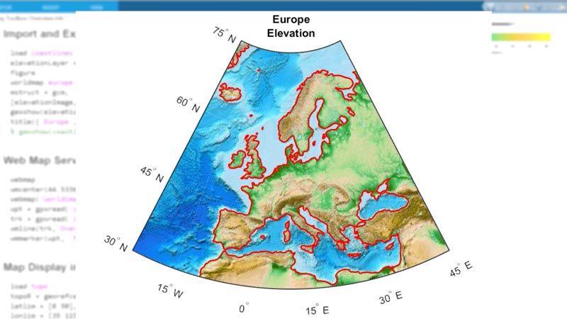
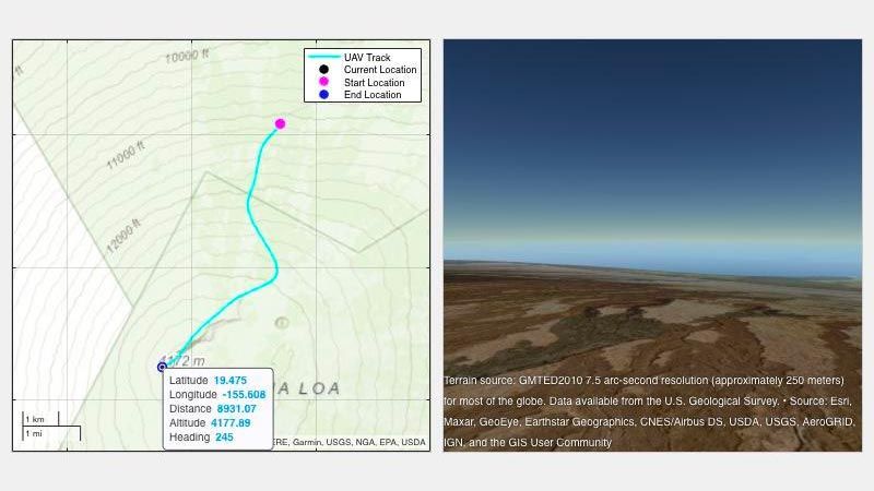
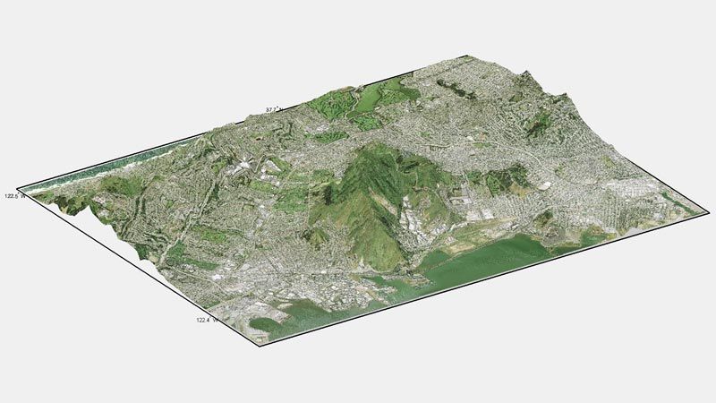
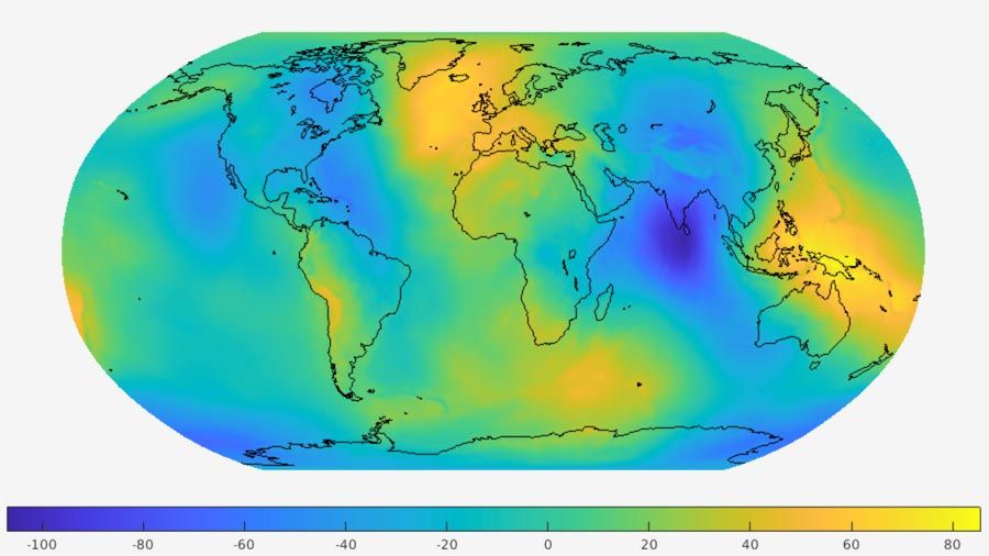
Mapping Toolbox 提供多种算法和函数,可用于地理数据变换和地图显示创建。您可以在地理环境中可视化数据,基于 60 多种地图投影构建地图显示,并将来自各种数据源的数据变换为一致的地理坐标系。
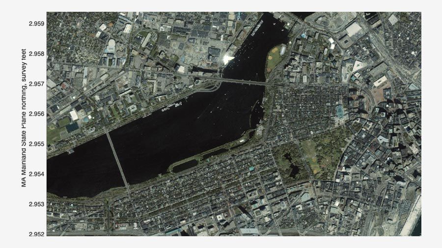
Mapping Toolbox 支持地理数据管理的整套工作流。您可以从各种 Web 地图服务器导入多种文件格式的矢量和光栅数据。该工具箱支持您使用删减、插值、重采样、坐标变换和其他方法来处理和自定义数据。您可以在单个地图显示中组合数据与多种来源的底图图层。您可以将数据导出为 shapefile、GeoTIFF 或 KML 等文件格式。
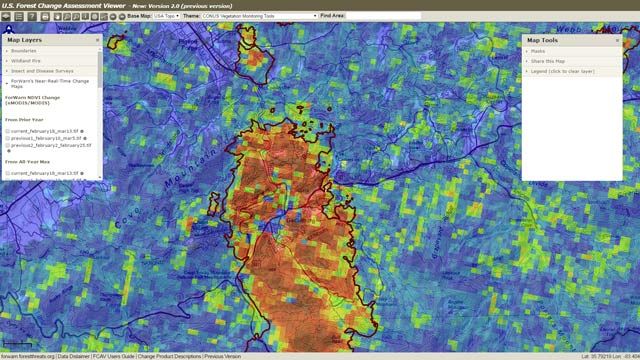
“ForWarn 投产运行后不久,就探测到了对分水岭构成威胁的冰雹灾害,之前的探测从未注意到这一点。如果没有 MATLAB,我们无法如此高效地完成这项工作。”
Duane Armstrong, NASA Stennis Space Center


您也可以从以下列表中选择网站:
美洲
- América Latina (Español)
- Canada (English)
- United States (English)
欧洲
- Belgium (English)
- Denmark (English)
- Deutschland (Deutsch)
- España (Español)
- Finland (English)
- France (Français)
- Ireland (English)
- Italia (Italiano)
- Luxembourg (English)
- Netherlands (English)
- Norway (English)
- Österreich (Deutsch)
- Portugal (English)
- Sweden (English)
- Switzerland
- United Kingdom (English)
亚太
- Australia (English)
- India (English)
- New Zealand (English)
- 中国
- 日本Japanese (日本語)
- 한국Korean (한국어)